
WELCOME TO Lawal Surveyor Group & Associates dba. (Omo Blessed Surveyors)
Precision in Every Point, Vision in Every Map
.jpg)
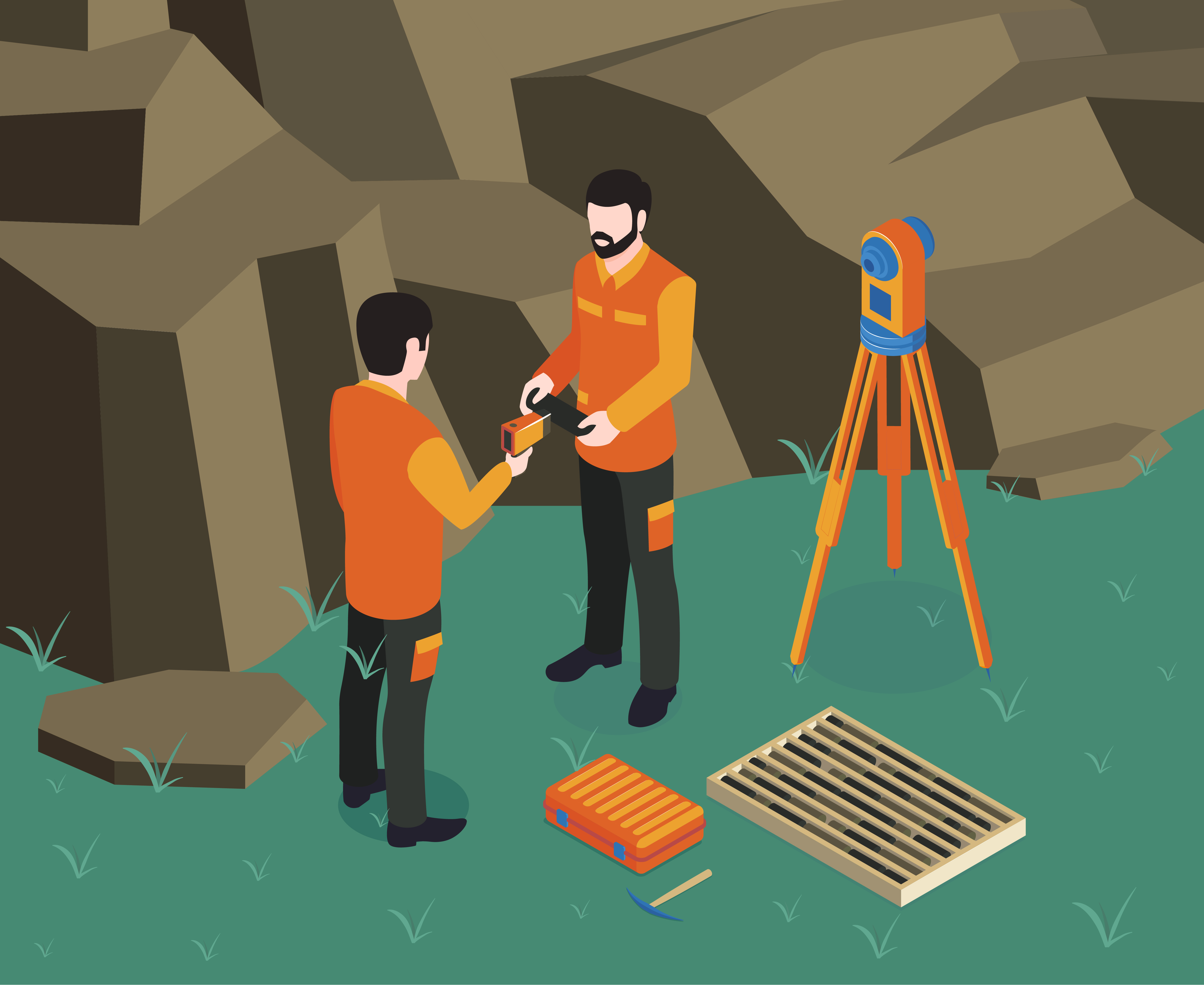
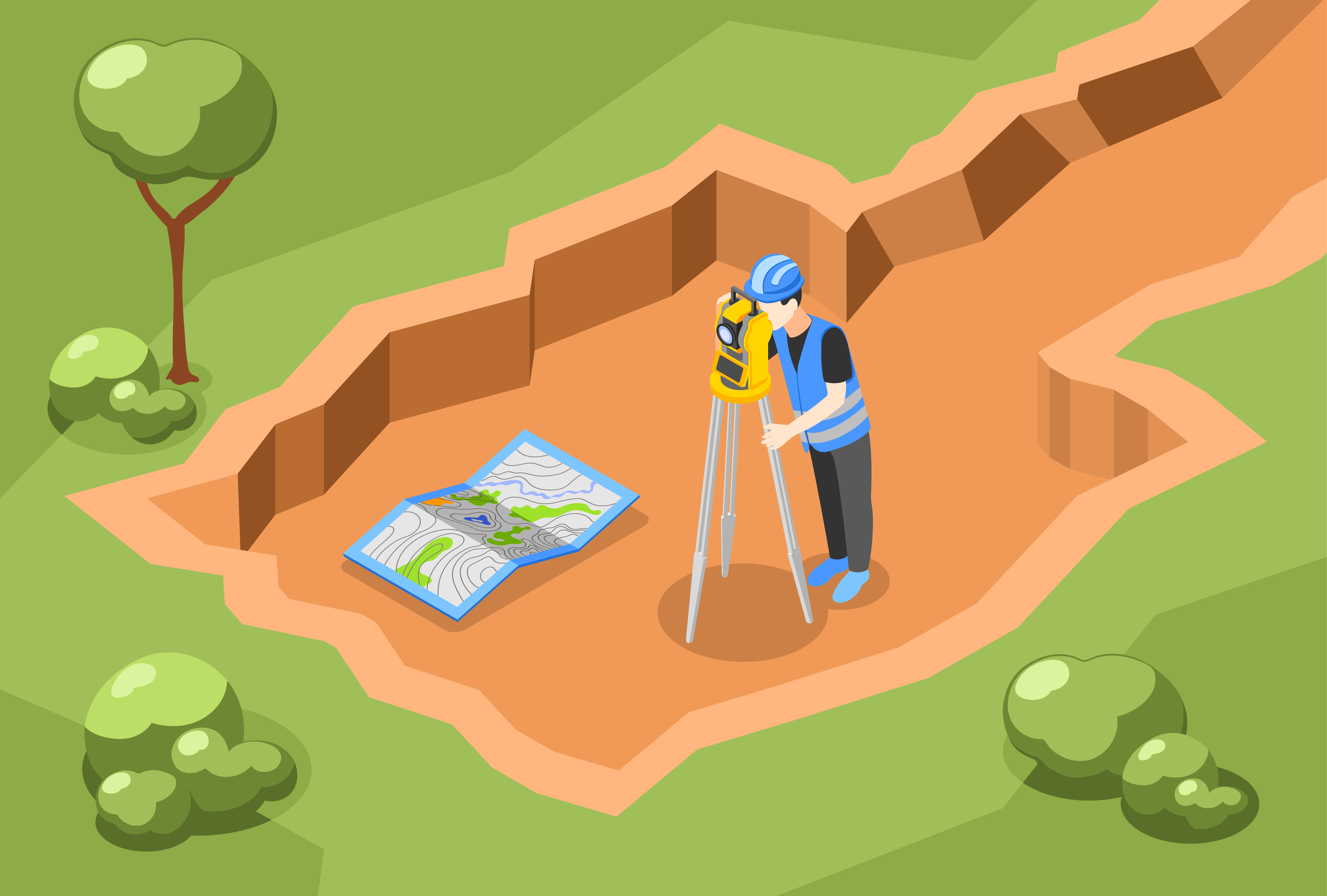
WE OFFER WIDE RANGE OF SERVICES
.jpg)
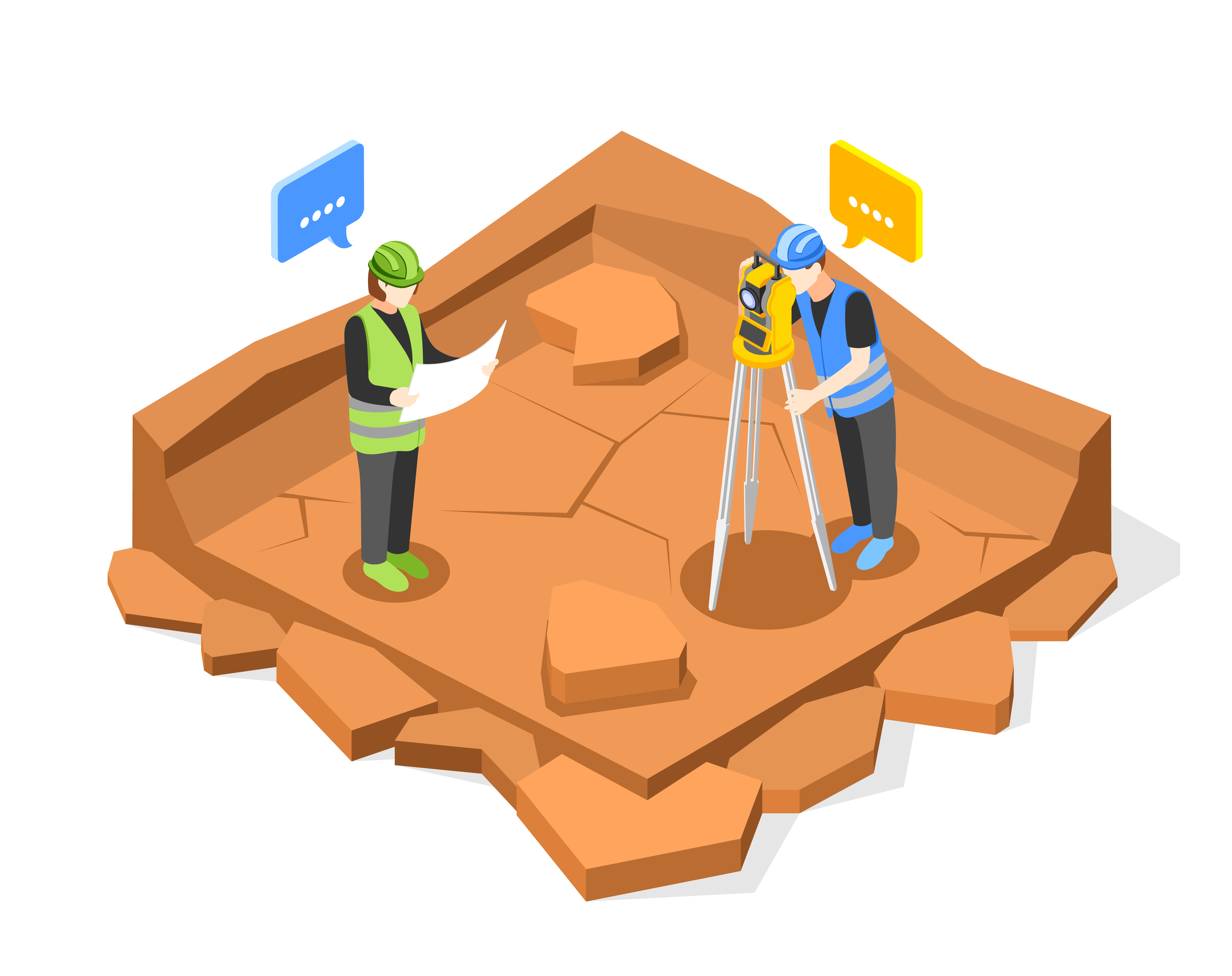
IF YOU NEED OUR ASSISTANCE, CONTACT US NOW

Boundary survey
We provide accurate boundary surveys to define property lines, resolve disputes, and ensure legal compliance.
Topography survey
We deliver precise topographic surveys to map land features, elevations, and contours for effective planning and design.

GPS OR Mapping
We utilize advanced GPS technology to provide accurate mapping and precise location data for all your surveying needs.

Construction staking
We provide precise construction staking to ensure accurate placement of structures, utilities, and foundations during your build.

Subdivision planning
We offer expert surveying services to support efficient and compliant subdivision planning, ensuring accurate land division and development.
Property Boundary Consulting
Understanding exactly where your property begins and ends is critical—whether you're planning a fence, resolving a dispute, or preparing to buy or sell land. We provide expert analysis of deeds, previous surveys, and legal descriptions to help you make informed decisions and avoid costly boundary issues..
GPS & Mapping Consulting
We use advanced GPS and GIS technologies to deliver accurate, data-driven maps for land development, asset management, and planning. Whether you need detailed topographic mapping, utility layouts, or large-scale site analysis, our consulting services ensure you have reliable spatial data to support smart decision-making.

Construction staking consulting
We offer professional construction staking consultancy to ensure your project is built exactly according to plan. Our team works closely with contractors, engineers, and developers to accurately mark out key site features—such as foundations, utilities, and roadways—based on your approved design. With precise staking and expert guidance, we help minimize costly errors and keep your construction on schedule.

Topographic Survey Consulting
We provide expert topographic survey consulting services to support your project's success from the ground up. Our team delivers accurate and detailed terrain data, helping engineers, architects, and developers make informed decisions. Whether for land development, infrastructure planning, or construction, we tailor our surveys to meet your unique site requirements with precision and reliability.
Subdivision Planning Consulting
Our subdivision planning consulting services provide expert guidance throughout the entire land development process. From initial site analysis to final subdivision design, we ensure your project meets all regulatory, zoning, and environmental requirements. Our team uses precise land surveying techniques to assess topography, boundaries, and infrastructure needs, helping you create efficient, sustainable subdivisions. With our expertise, we help you navigate complex planning and approval processes, ensuring your project moves forward smoothly and successfully.
And lastly, Meet Our Director
Mr. Lawal Kamoru Ajani, Director & Senior Survey Consultant With over 20 years of experience in land and topographic surveying, Mr. Lawal leads our team with a commitment to precision, innovation, and client-focused service. His expertise spans major infrastructure projects, land development, and environmental planning, ensuring every project is grounded in accuracy and excellence. .